|
 In other regions, the sea-level was lower than it is today and allowed
coastal settlements, which today are covered by the sea (e.g. Franchthi
in Hermionid), to develop. At the estuaries of rivers, the continuous
accumulation of silt had the opposite result, that is to extend the shoreline.
Thus, coastal Neolithic settlements, such as Dimini in Volos, are today
situated several kilometres away from the shoreline. The continuous accumulation
of silt in lowland areas, such as those of eastern Macedonia and Thrace,
brought about a rise in the ground level by several or even many metres,
with the result that Neolithic settlements disappeared under erosion materials
and alluvian deposits.
In other regions, the sea-level was lower than it is today and allowed
coastal settlements, which today are covered by the sea (e.g. Franchthi
in Hermionid), to develop. At the estuaries of rivers, the continuous
accumulation of silt had the opposite result, that is to extend the shoreline.
Thus, coastal Neolithic settlements, such as Dimini in Volos, are today
situated several kilometres away from the shoreline. The continuous accumulation
of silt in lowland areas, such as those of eastern Macedonia and Thrace,
brought about a rise in the ground level by several or even many metres,
with the result that Neolithic settlements disappeared under erosion materials
and alluvian deposits.
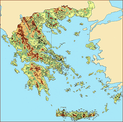
Pollen analyses and palaeobotanical research (study of floral remains) show that the climate during the Neolithic Period did not considerably differ from the modern climate. It was Mediterranean, with wet and slightly colder winters but dry, hot summers. Geomorphology and climate had a direct effect on vegetation, and consequently the choice of location for habitation. It is believed that locations with maquis vegetation were preferred to woods, as they were easier to clear and to turn into profitable, arable lands which were of vital importance for the first farmers. |